Aircraft Survey

Aircraft leasing structured around your operational needs.

Aircraft Platforms for Specialised Survey Operations

Aircraft Survey

Aircraft leasing structured around your operational needs.

Aircraft Platforms for Specialised Survey Operations

XPLORE Aviation provides aircraft platforms and integration capability for specialised airborne survey operations. Our configurable aviation solutions can support aerial photography, mapping, geospatial data collection, infrastructure assessment and other applications requiring reliable access to an airborne platform.

Different survey projects require different combinations of aircraft performance, equipment, flight profiles and operational reach. XPLORE Aviation works with clients to understand these requirements and identify an appropriate aircraft platform from within its fleet categories.

Supporting Airborne
Data Collection

Aircraft survey operations may support the collection of visual, geospatial and technical information across large or difficult-to-access areas. This can assist organisations involved in infrastructure planning, environmental monitoring, resource management, construction, conservation and other data-dependent activities.

Where specialised equipment is required, XPLORE Aviation can support the integration of approved survey systems and related onboard equipment. The objective is to provide a practical aircraft platform that aligns with the project’s operational and technical requirements.
Aircraft for
Challenging
Environments

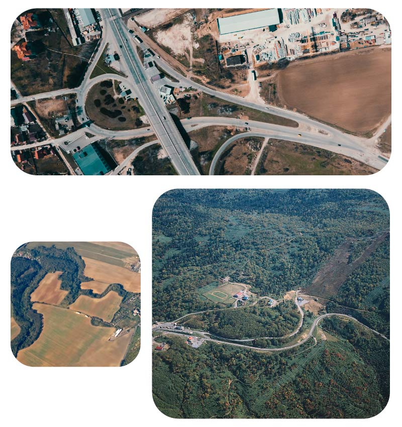
Our fleet includes utility aircraft suited to operations from regional airfields and more remote locations. This provides clients with access to platforms capable of supporting survey activities across varied terrain and operating environments.

Aircraft selection will depend on factors such as payload, range, endurance, operating altitude, runway requirements and the equipment required for the project.

Aircraft for
Challenging
Environments

Our fleet includes utility aircraft suited to operations from regional airfields and more remote locations. This provides clients with access to platforms capable of supporting survey activities across varied terrain and operating environments.

Aircraft selection will depend on factors such as payload, range, endurance, operating altitude, runway requirements and the equipment required for the project.

Data Collection Capabilities

Depending on the aircraft and operational requirement, specialist integration may include:

Aerial survey
cameras

Photographic and
imaging systems

LiDAR and
geospatial sensors

Monitoring and
data-acquisition equipment

Navigation and
communication equipment

Operator consoles and
onboard workstations

Equipment mounts and
supporting structures

Electrical power and
avionics interfaces

Temporary or operation specific
aircraft configurations

All installations are considered in relation to the aircraft platform, equipment
specifications and applicable aviation requirements.

Geospatial Mapping

Aircraft Support for Geospatial Mapping

Geospatial Mapping

Aircraft Support for Geospatial Mapping

XPLORE Aviation provides configurable aircraft and specialist equipment support for airborne geospatial data acquisition. Our aviation platforms can support mapping, monitoring, surveying and planning activities across remote, regional and large-scale project areas.

By combining suitable aircraft with the required onboard equipment, airborne geospatial operations can collect accurate information across areas that may be difficult, slow or impractical to assess from the ground.

Airborne Data Acquisition – Geospatial Data Collection

Geospatial mapping may involve aerial imaging, surveying technology and other specialist data acquisition systems. These operations require careful consideration of aircraft stability, endurance, operating altitude, equipment configuration and the intended survey area.

XPLORE Aviation works with clients and specialist project teams to determine the aircraft and integration requirements for each operation. Equipment solutions can be assessed according to the aircraft platform, project scope and applicable technical and regulatory requirements.

From Data
Collection to
Better Decisions

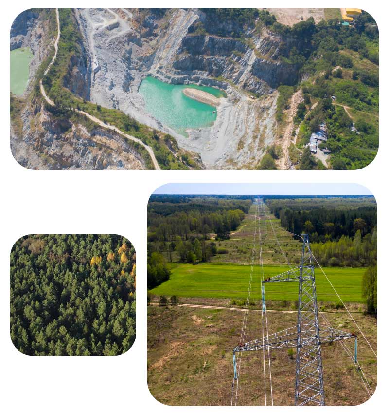
Accurate geospatial information supports planning and decision-making across industries including infrastructure, mining, agriculture, environmental management, conservation and development. Airborne mapping can help organisations monitor change, evaluate assets, plan future activity and build a more complete understanding of large or inaccessible areas. XPLORE Aviation provides the aviation capability needed to support these specialised data collection activities.